


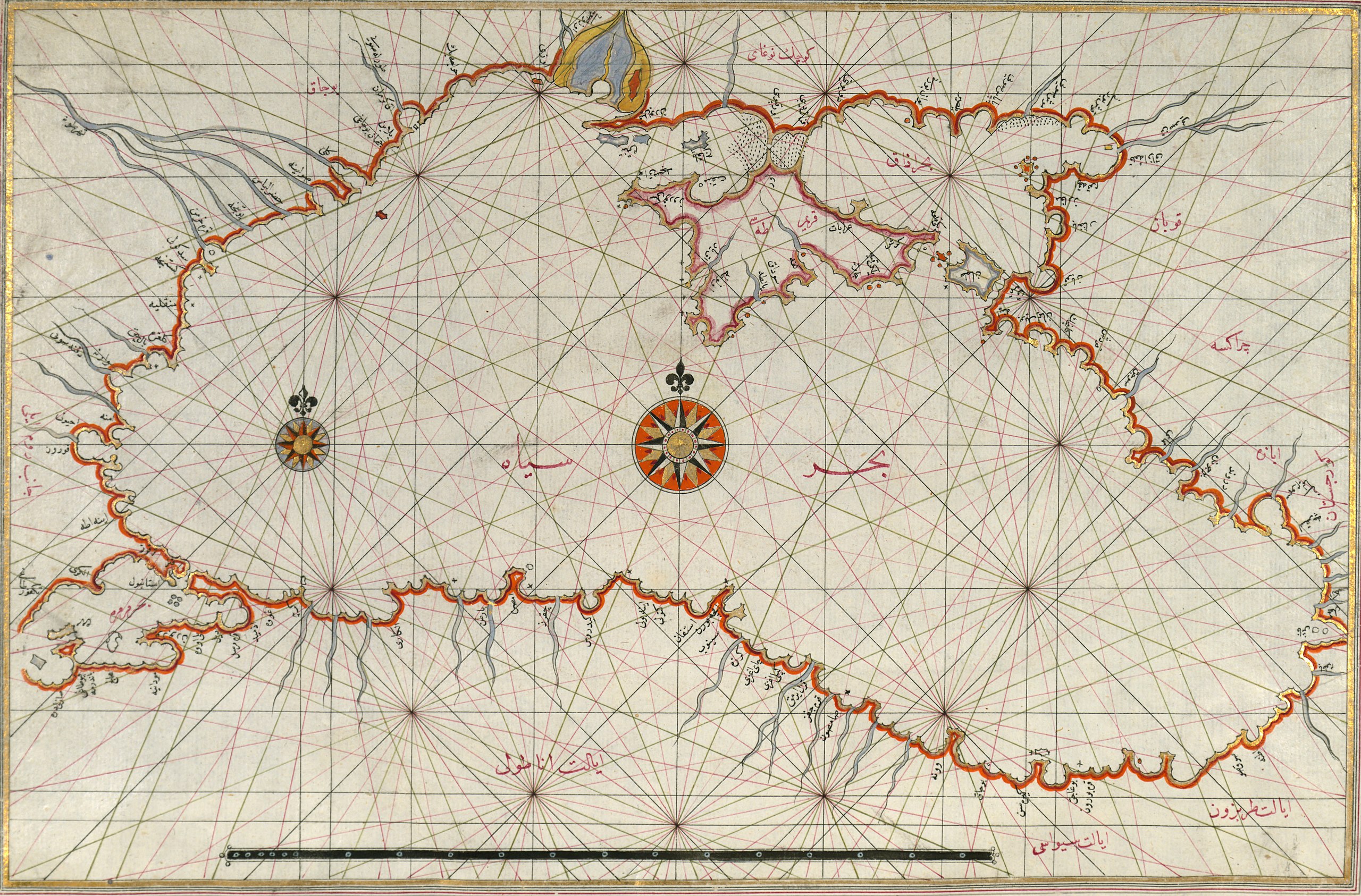
Файл:Piri Reis. Map of the Black Sea.jpg

Исходный файл (2560 × 1686 пкс, размер файла: 1,31 МБ, MIME-тип: image/jpeg)
Описание
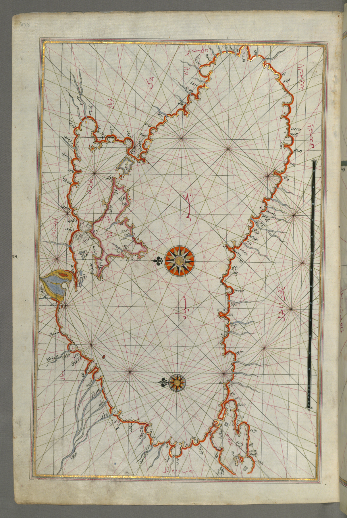
| Описание | Originally composed in 932 AH/AD 1525 and dedicated to Sultan Süleyman I ("The Magnificent"), this great work by Piri Reis (d. 962 AH/AD 1555) on navigation was later revised and expanded. Walters manuscript W.658, made mostly in the late 11th century AH/AD 17th, is based on the later expanded version and has some 240 exquisitely executed maps and portolan charts. They include a world map (fol. 41a) with the outline of the Americas, as well as maps of coastlines (bays, capes, peninsulas), islands, mountains, and cities of the Mediterranean basin and the Black Sea. The work starts with the description of the coastline of Anatolia and the islands of the Aegean Sea, the Peloponnese peninsula, and the eastern and western coasts of the Adriatic Sea. It then proceeds to describe the western shores of Italy, southern France, Spain, North Africa, Palestine, Israel, Lebanon, Syria, western Anatolia, various islands north of Crete, the Sea of Marmara, Bosporus, and the Black Sea. It ends with a map of the shores of the Caspian Sea (fol. 374a). |
|---|---|
| Источник | The Walters Art Meseum (direct, art.thewalters.org) |
| Время создания | 1525 |
| Автор или правообладатель | Piri Reis
— Лицензия: Public domain (в общественном достоянии) |
| Другие версии файла | — |
Источник файла — сайт Wikimedia Commons, куда он был загружен под одной из свободных лицензий ( https://commons.wikimedia.org/wiki/File:Piri_Reis._Map_of_the_Black_Sea.jpg ). Авторов, работавших над этим файлом см. в истории файла: https://commons.wikimedia.org/w/index.php?title=File:Piri_Reis._Map_of_the_Black_Sea.jpg&action=history


В общем случае в статьях энциклопедии Руниверсалис файлы используются в соответствии со статьёй 1274 Гражданского кодекса Российской Федерации.
История файла
Нажмите на дату/время, чтобы увидеть версию файла от того времени.
| Дата/время | Миниатюра | Размеры | Участник | Примечание | |
|---|---|---|---|---|---|
| текущий | 18:08, 8 августа 2024 | | 2560 × 1686 (1,31 МБ) | Я, робот (обсуждение | вклад) | == Описание == {{Изображение | описание = Originally composed in 932 AH/AD 1525 and dedicated to Sultan Süleyman I ("The Magnificent"), this great work by Piri Reis (d. 962 AH/AD 1555) on navigation was later revised and expanded. Walters manuscript W.658, made mostly in the late 11th century AH/AD 17th, is based on the later expanded version and has some 240 exquisitely executed maps and portolan charts. They include a world map (fol. 41a) with the outline of the Americas, as well as maps o... |
Вы не можете перезаписать этот файл.
Использование файла
Следующая страница использует этот файл:
