Файл:Tokyo Landsat.jpg
Размер этого предпросмотра: 767 × 600 пкс. Другое разрешение: 1000 × 782 пкс.
Исходный файл (1000 × 782 пкс, размер файла: 897 Кб, MIME-тип: image/jpeg)
Описание
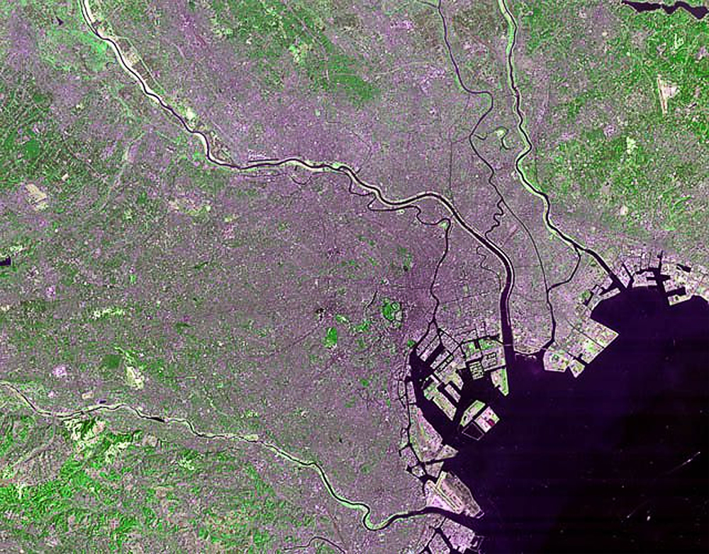
| Описание | Tokyo Landsat 4 photo in 1986. A guided tour:
|
|---|---|
| Источник | Attribution information, such as the author's name, e-mail, website, or signature, that was once visible in the image itself has been moved into the image metadata and/or image description page. This makes the image easier to reuse and more language-neutral, and makes the text easier to process and search for. Commons discourages placing visible author information in images. |
| Время создания | 1986 |
| Автор или правообладатель | NASA — Лицензия: Public domain (в общественном достоянии) |
| Другие версии файла | — |
Источник файла — сайт Wikimedia Commons, куда он был загружен под одной из свободных лицензий ( https://commons.wikimedia.org/wiki/File:Tokyo_Landsat.jpg ). Авторов, работавших над этим файлом см. в истории файла: https://commons.wikimedia.org/w/index.php?title=File:Tokyo_Landsat.jpg&action=history
В общем случае в статьях энциклопедии Руниверсалис файлы используются в соответствии со статьёй 1274 Гражданского кодекса Российской Федерации.
История файла
Нажмите на дату/время, чтобы увидеть версию файла от того времени.
| Дата/время | Миниатюра | Размеры | Участник | Примечание | |
|---|---|---|---|---|---|
| текущий | 10:27, 3 сентября 2023 | | 1000 × 782 (897 Кб) | I, Robot (обсуждение | вклад) | == Описание == {{Изображение | описание = Tokyo Landsat 4 photo in 1986. A guided tour: <ul><li>The green circle in the center is the [https://commons.wikimedia.org/wiki/Kokyo Kokyo] (Imperial Palace). The little gray ball in the middle is the palace itself: you can also barely see the Budokan at the top of the palace grounds.</li> <li>[https://commons.wikimedia.org/wiki/Tokyo_Tower Tokyo Tower] is located in the small park due south of the Kokyo.</li> <li>At the bottom of the photo, on th... |
Вы не можете перезаписать этот файл.
Использование файла
Следующий файл является дубликатом этого файла (подробности):
- Файл:Tokyo Landsat.jpg из на Викискладе